Day 1b – Evening setting out to Sea!
The Evening of Day 1 – Wednesday, October 29th, 2008

Statue of Liberty at sunset.
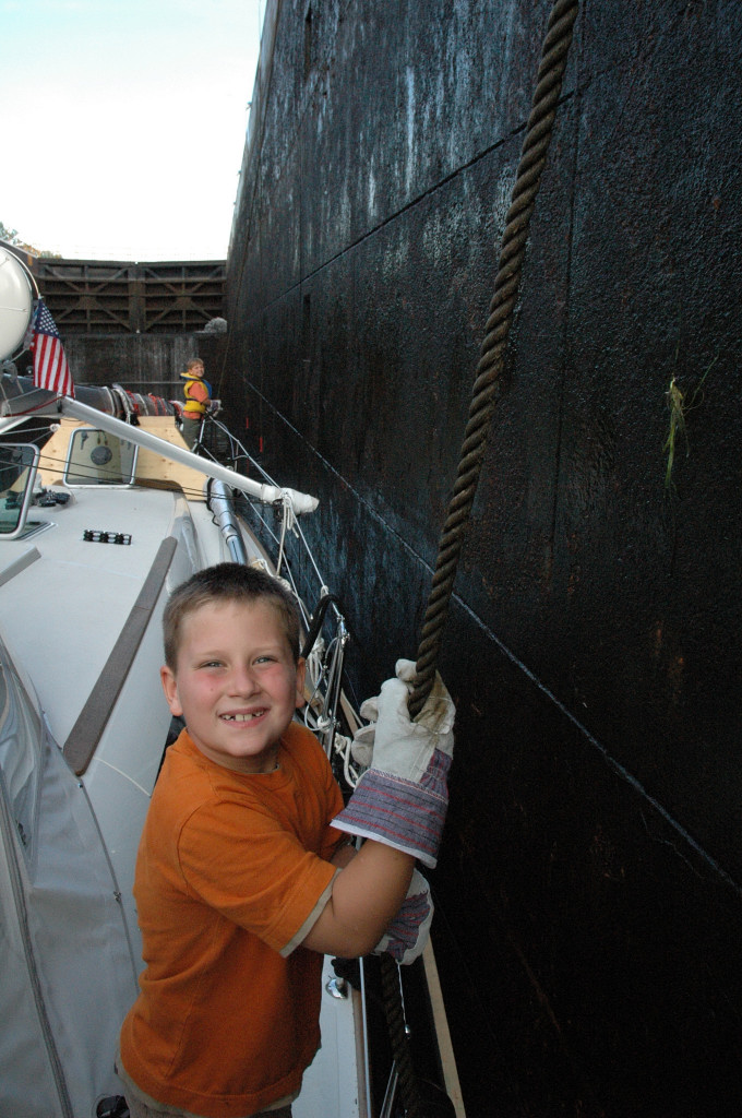
Departed Liberty Landing at about 6PM, as we sailed past the Statue of Liberty and Ellis Island with the sunset in the back ground, it brought thoughts of the immigrants of old times that would have sailed across the ocean to a brave new world, the start of their American dream and the freedom it represents. We headed out to sea past Long Island, along a very long channel that is a major high traffic zone used by some of the largest containerships you’ll ever see. Over the next 4 hours we were passed by over a dozen container ships, each about a 1/2 hour apart from each other, some over a 1,000 feet long and 150 feet wide. The channel between the buoys is only about 500 feet wide, large enough for 2 container ships to pass each other port to port. We had to stay in the channel ourselves, outside the channel was even to shallow for our boat which draws 6’6”. So we kept very close to the red buoys, giving the ships lots of room to pass. Every time a ship passed at about 15-20 knots, it left a 4-5 foot wake that we had to climb and keep the boat from being tossed outside the buoys. They could not believe we were going out to sea at this time of night, and would blast their very loud fog horns at us. Keep in mind this is in complete darkness by now. Cez has not had a lot of experience helming, and he found it very stressful, he did a great job however. Paul was navigating, I was baking pizza in the oven and heating up some clam chowder for dinner as Peter kept us entertained all night.
At about 9 or 10PM, we saw a very bright light in the sky, at first we thought it was a helicopter, but then the light was coming right at our boat about 100 feet away. Cez thought someone was firing at us. Then another shot fired at our starboard bow, it felt like we were right in the movie Pirates of the Caribbean. Then we quickly realized someone was firing distress flares, but herd no mayday on the radio. We were debating what to do? Do we radio to find out if someone needs help, do we try to sail towards where the flares are being shot from. Then after about 15 minutes and 3-4 flares, the coast guard comes on the radio and announces a security call that they are conducting flare tests and training. In Canada they would have announced that hours before hand to warn people and not to freak them out. I think they were actually aiming them at us just for their entertainment.
Shortly after this we were in the Atlantic Ocean. It was pitch black, but you could feel the boat rising and falling slowly up and down the large swells. We started to head south along the coast, we kept far outside the ocean shipping lanes that lead the freighters south. We saw the large cruise ship that we passed in the port of New York earlier that day, going out to sea on our port side. We could see on our AIS that the ship was headed to Hamilton, Bermuda and when it would arrive in port. Our boat is equipped with the new AIS technology. I learned about this from Paul and Sheryl Shard at a PCYC seminar. They highly recommended it, so I had it installed on our boat. Its priceless! It is now mandatory for Commercial vessels to be equipped with AIS. It broadcasts digitally over VHF radio the boats name, size and length, boat speed, heading, and final destination along with other data. This is not an audio broadcast, but digitally interpreted by our onboard chart plotter (Marine Computer). It is then plotted on our screen, we can see where the boat is in relation to our boat, what direction and speed it is travelling, our plotter will calculate a possible collision course, and time of intersection. We can set up a safety perimeter around our boat, and it will sound an alarm if a ship enters the zone. We had AIS running all the time, it brought us a good sense of safety. Occasionally, we would also turn on our radar, and do a sweep of the area just to verify an all clear. We can’t run the radar constantly due to power consumption. But it can be programmed to come on every once in a while and do a sweep. This is also necessary to pick up any ships that may not be transmitting AIS. We have a 4K radar dome, good for a range of 48 knotical miles. I installed these two units because I knew I was planning on doing some ocean cruising. It is still important to keep a live watch 24 hours a day, but these tools just make life a little easier.